Global Navigation Satellite Systems (GNSS); we all rely on it.
GNSS is used commonly for Positioning, Navigation, and Timing (PNT) applications like navigating (autonomous) road traffic, shipping and aviation, time synchronization for electricity distribution, computer and communication networks, payment transactions and many more. This is so seamlessly integrated into our daily lives that we sometimes forget how much we rely on this information and what the effect is if this information is not correct or not available. Would you like to learn more about GNSS, assess whether you are a user and how big your potential risk is in case of disruption, or how you can make your applications resilient? This portal will help you with these questions.
GNSS (Global Navigation Satellite Systems) is used as an umbrella term for all available global navigation satellite systems. Multiple systems, so called constellations, exist and are used. GNSS users can make use of one specific system or a combination of multiple systems: GPS (American), Galileo (European), GLONASS (Russian) and BeiDou (Chinese).
GNSS is used to:
Provide information on the current time
Provide information on the current location
Provide information on your current velocity
Examples of where GNSS is used:
1. Electronic tagging
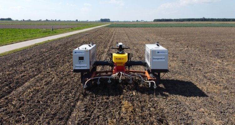
2. Precision agriculture
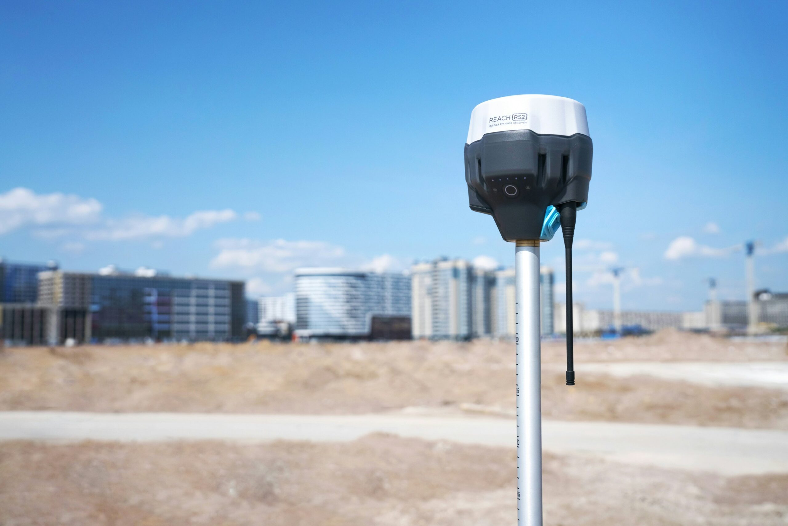
3. Land Surveying
4. Smart mobility
5. Exchange of commodities
6. Transportation
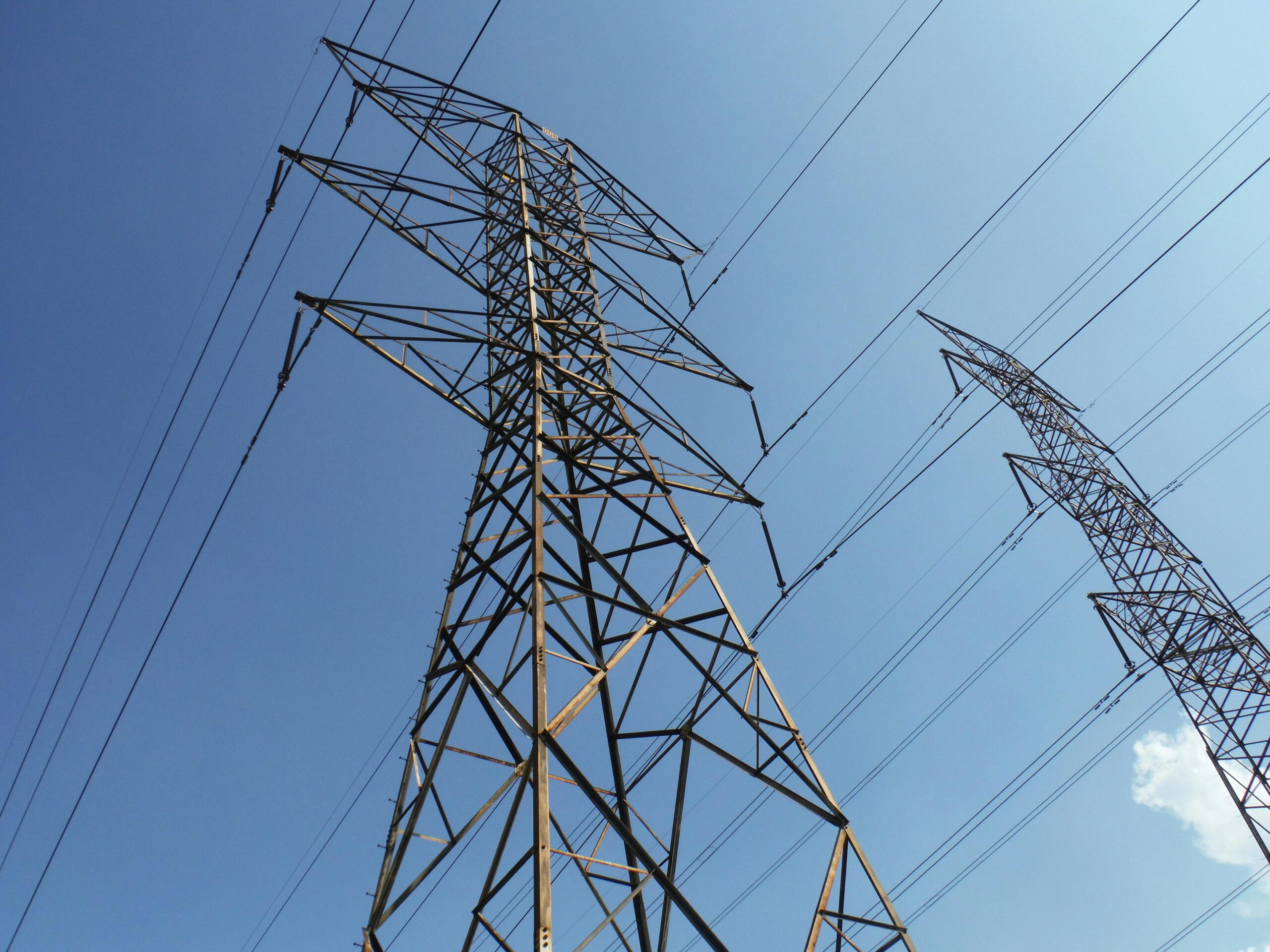
7. Electrical grids
Electronic tagging
Precision agriculture
Land Surveying
Smart mobility
Exchange of commodities
Transportation
Electrical grids
That was our introduction and short summary of GNSS. Are you ready to further expand your knowledge? Then I highly recommend to continue to “What is GNSS?“.